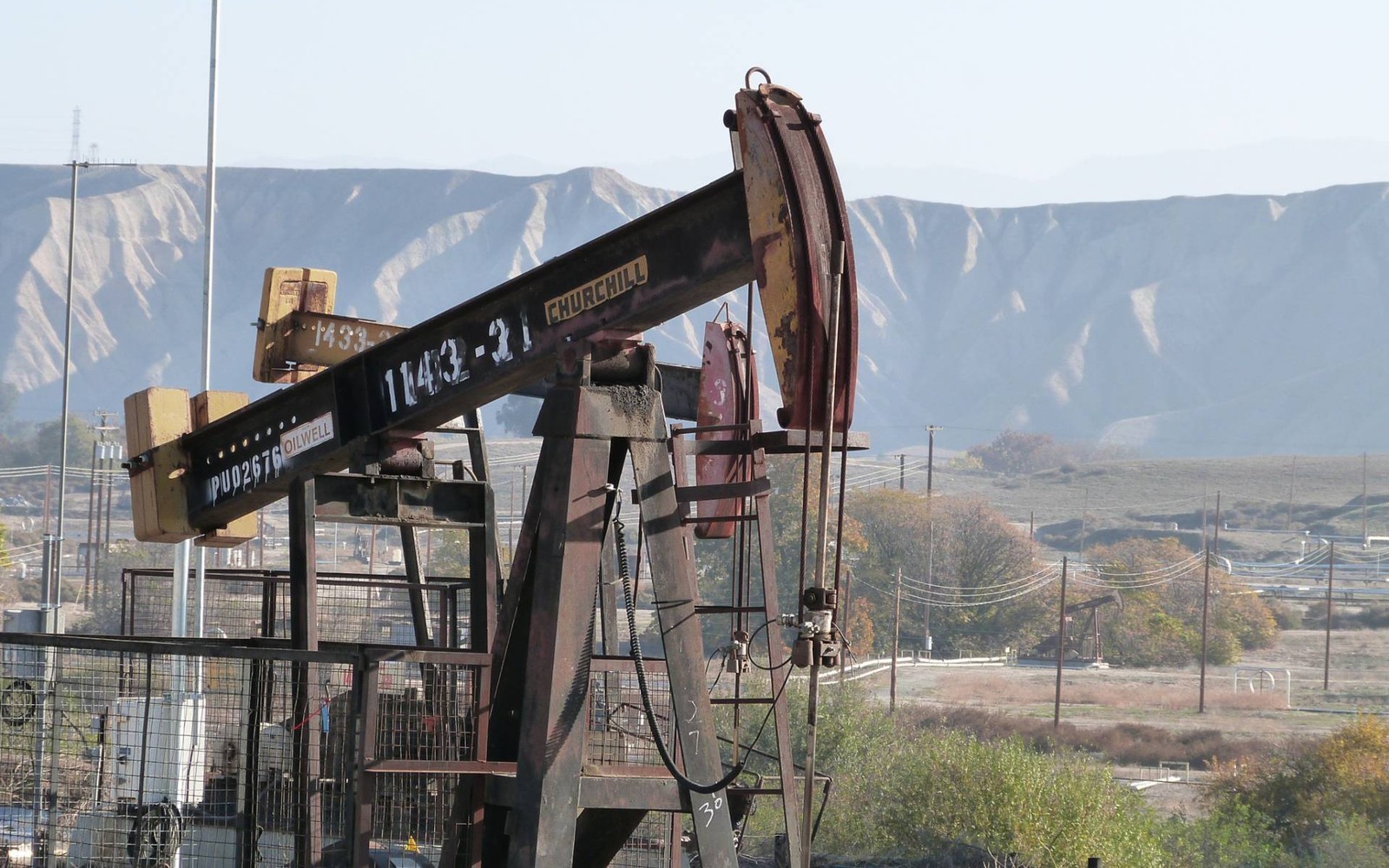
Hannibal sits right on the Ohio River in Monroe County, in a stretch of the state that's produced oil in one form or another for well over a century.
Hannibal is a small river community in Monroe County, directly across the Ohio River from West Virginia, in an area that's seen both older conventional oil production and modern Utica/Point Pleasant horizontal drilling. Monroe County sits deep in the Utica core, and its river-valley position also puts some tracts within reach of Marcellus interest given the proximity to West Virginia development just across the water.
Two formations, one river corridor
Hannibal's position along the Ohio River means mineral interests here can be relevant to both the Utica/Point Pleasant play on the Ohio side and, less directly, to Marcellus activity concentrated across the river in West Virginia. A broad oil and gas reservation in an older deed typically covers whichever formation eventually gets developed, so it's worth confirming which wells, if any, are actually producing from your specific tract.
Layered ownership from river-valley farm history
Land along the Ohio River in Monroe County was farmed for generations before any drilling occurred, and mineral rights here were frequently severed through simple family deeds that have since split among multiple heirs. A title search through the Monroe County Recorder's office in Woodsfield will confirm your current decimal interest and whether it's tied to an active lease.
Begin with the local record trail
A mineral review in the county starts with the county recorder, legal description, deed chain, reservations, affidavits, notices, lease, units, division orders, payor records, statements, and Ohio well data.
Route Ohio title questions correctly
Probate, marital property, dormant-mineral procedure, pooling, recording, transfer, regulatory filings, and payor notices can change the file in the county. Qualified advisers should review legal and tax questions.
Keep the local review tract-specific
Use local context as a prompt, not a valuation shortcut. The county mineral docket then reconciles the exact tract against gross and net acres, ownership fraction, recorded notices, producing and inactive wells, paid decimal, recent statements, lease burdens, title exceptions, and the complete written offer.