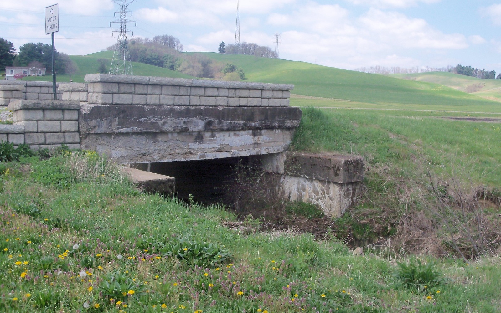
Port Washington sits along the historic Ohio and Erie Canal route in Tuscarawas County, on the flank of the Utica/Point Pleasant play, in territory where farming and canal-era commerce shaped land patterns more than oil and gas ever did.
The canal-era history around Port Washington means a lot of local land was platted and divided for commerce and small farms well before anyone drilled a modern shale well nearby. That history is part of why mineral ownership records here can be older and more fragmented than in areas developed later.
Canal-era land division and mineral title
Small lots and farm tracts platted during the canal era near Port Washington were sometimes subdivided repeatedly over the following century, and mineral rights weren't always addressed consistently in each transaction. A full title check is the only reliable way to know whether your specific parcel's minerals were ever severed from the surface.
Tuscarawas County's flank position today
Modern Utica/Point Pleasant development has been more selective in Tuscarawas County than in the core counties to the east. Value on a Port Washington-area tract depends on proximity to the nearest actual units, so checking recent permit activity in the surrounding area is a practical step.
Recorder records in New Philadelphia
The Tuscarawas County Recorder's office in New Philadelphia holds deed and lease history for Port Washington. Given the area's older land-division patterns, plan to check a full chain of title rather than just the most recent deed.
Begin with the local record trail
A mineral review in the county starts with the county recorder, legal description, deed chain, reservations, affidavits, notices, lease, units, division orders, payor records, statements, and Ohio well data.
Route Ohio title questions correctly
Probate, marital property, dormant-mineral procedure, pooling, recording, transfer, regulatory filings, and payor notices can change the file in the county. Qualified advisers should review legal and tax questions.
Keep the local review tract-specific
Use local context as a prompt, not a valuation shortcut. The county mineral docket then reconciles the exact tract against gross and net acres, ownership fraction, recorded notices, producing and inactive wells, paid decimal, recent statements, lease burdens, title exceptions, and the complete written offer.