
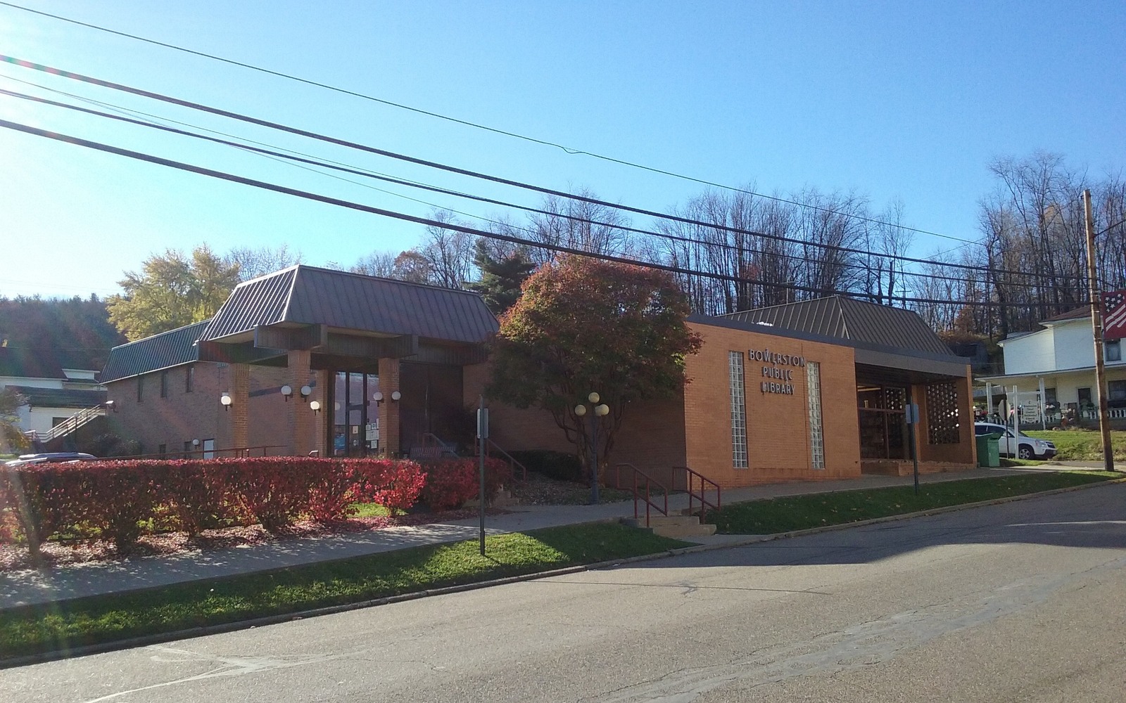
How do you know if your Bowerston-area tract is in a spacing unit?
Check the Ohio Department of Natural Resources' well and permit database by township, or review your division order if the tract is already producing.
Bowerston sits in southern Harrison County, an area where horizontal spacing units have been laid out systematically across the farmland since the play's early years.
If you're trying to understand your mineral interest near Bowerston, it helps to start with how spacing units actually work. Ohio law requires operators to get a permit from the Division of Oil and Gas Resources Management defining a specific unit boundary before drilling a horizontal well, and every mineral owner whose acreage falls inside that boundary gets pooled into the unit and paid their proportional share.
Harrison County has more of these units laid out than almost anywhere else in the state, and Bowerston sits well within that core development area, so there's a reasonable chance your family's tract is already inside one, whether or not you've kept close track of the paperwork.
The Ohio Department of Natural Resources publishes permit and unit information, searchable by township, and it's the most reliable public source for confirming whether your specific tract has been included in a spacing unit. If a unit exists, cross-reference it against your deed's legal description to confirm your acreage actually falls within the boundary.
If you're already receiving royalty payments, your division order will state the unit name directly, saving you the search.
A tract inside an active, producing spacing unit has real numbers behind it, your decimal interest and recent production volumes, which gives a buyer solid ground to build an offer from. A tract permitted but not yet producing is valued with more weight on timing and projected development. And acreage outside any current unit boundary is valued off nearby comparable activity.
Harrison County deed records are held at the recorder's office in Cadiz. Because much of the land around Bowerston has stayed in farm families for generations, confirming exact ownership, especially if multiple heirs are involved, is usually the first real step before an offer can be finalized.
A mineral review in the county starts with the county recorder, legal description, deed chain, reservations, affidavits, notices, lease, units, division orders, payor records, statements, and Ohio well data.
Probate, marital property, dormant-mineral procedure, pooling, recording, transfer, regulatory filings, and payor notices can change the file in the county. Qualified advisers should review legal and tax questions.
Use local context as a prompt, not a valuation shortcut. The county mineral docket then reconciles the exact tract against gross and net acres, ownership fraction, recorded notices, producing and inactive wells, paid decimal, recent statements, lease burdens, title exceptions, and the complete written offer.
Questions Ohio owners ask
Check the Ohio Department of Natural Resources' well and permit database by township, or review your division order if the tract is already producing.
It can still be valued and sold, generally with more weight on projected timing than a currently producing tract would carry.
No, each owner is paid based on their proportional acreage within the unit, reflected as their individual decimal interest on the division order.
Keep reading before you sign
Own mineral rights near Bridgeport, Belmont County, across the river from Wheeling? Understand what shapes an offer here and get one with no obligation.
Own mineral rights near Brilliant, a river community in Jefferson County? Learn what a hedged, activity-based offer looks like and request one today.
Worried a surface owner could reclaim your dormant minerals near Brookside, Belmont County? Learn how Ohio's Dormant Mineral Act works, then get an offer.
Put your county record in front of a buyer
Share the Ohio county, owner name, interest type, producing status, available statements, and the decision that needs a clearer answer.