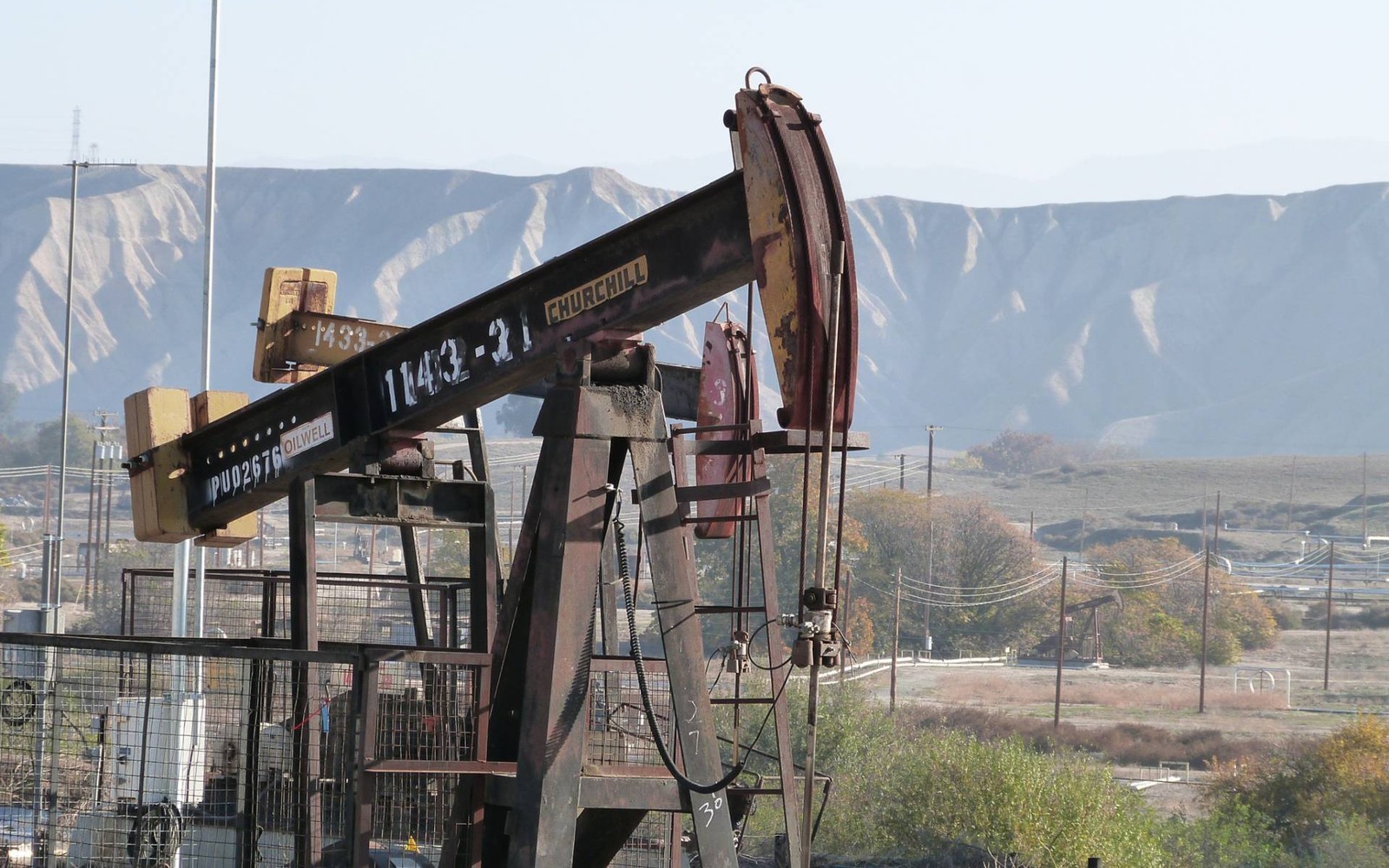
Bergholz sits in southern Jefferson County, ground that's been folded into horizontal spacing units alongside neighboring Harrison County acreage.
If you own minerals near Bergholz, there's a decent chance your tract has been pooled into a spacing unit that crosses into Harrison County, since operators lay out horizontal units by geology and lease position, not county lines. Understanding how pooling works helps explain why your royalty check, if you're getting one, might reference a well that isn't physically under your own tract.
That's normal, and it's worth understanding rather than being confused by, since it's central to how modern shale development actually works across this part of eastern Ohio.
How pooling and spacing units work
A horizontal Utica well might run a mile or more, crossing under dozens of separate tracts and multiple property owners along the way. Rather than drilling a well per tract, operators combine, or pool, all the mineral interests within the unit's boundary and pay each owner their proportional share of production based on how much of the unit their acreage represents.
That's why your division order lists a decimal interest rather than a flat share, it reflects your tract's percentage of the total pooled unit, which could span acreage well beyond what your family actually owns.
What this means for a Bergholz-area sale
If your minerals are part of an active pooled unit, your division order and royalty statements are the clearest way to establish value, they show your exact decimal interest and recent production. If your tract sits outside any current unit boundary, an offer is based more on likely future development, informed by activity in adjoining units nearby.
Confirming ownership before you sell
Jefferson County deed and lease records are held at the recorder's office in Steubenville. Because so much of Bergholz-area land is held in long-standing family tracts, confirming your exact share, whether you own it outright or split it with relatives, is a necessary first step before any serious offer can be made.
Begin with the local record trail
A mineral review in the county starts with the county recorder, legal description, deed chain, reservations, affidavits, notices, lease, units, division orders, payor records, statements, and Ohio well data.
Route Ohio title questions correctly
Probate, marital property, dormant-mineral procedure, pooling, recording, transfer, regulatory filings, and payor notices can change the file in the county. Qualified advisers should review legal and tax questions.
Keep the local review tract-specific
Use local context as a prompt, not a valuation shortcut. The county mineral docket then reconciles the exact tract against gross and net acres, ownership fraction, recorded notices, producing and inactive wells, paid decimal, recent statements, lease burdens, title exceptions, and the complete written offer.