
Is your property near Seneca Lake actually part of the Utica core, or just close to it?
Guernsey County broadly falls within the Utica/Point Pleasant core, and we verify your specific parcel's status against current state permit and production data.
Land around Seneca Lake near Senecaville has been divided and re-divided for generations, cabins, farms, and family plots, and mineral rights often followed a completely different path than the surface above them.
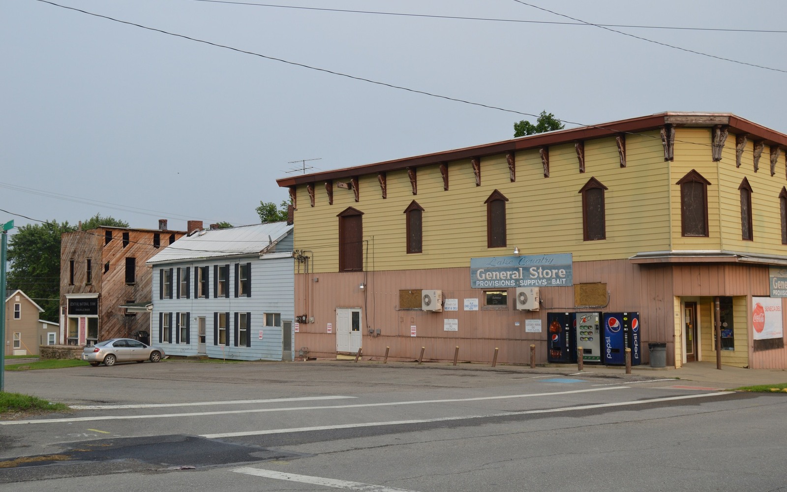
Senecaville sits near Seneca Lake in Guernsey County, in the Utica/Point Pleasant core play. The area's mix of lakefront recreational land and working farmland means mineral ownership here can look different from one tract to the next, some tied to old agricultural reservations, others to more recently subdivided lake parcels.
Whatever the history behind your specific interest, the county recorder's records and current well data tell the actual story, and that is where we start before ever discussing a number.
Mineral rights tied to older Guernsey County farms near Senecaville typically trace back to a reservation made when the surface sold decades ago, while lake-area parcels subdivided more recently sometimes carry different or more current mineral language. Both patterns exist here.
Because of that mix, we do not assume anything about a specific tract until we have pulled the recorded deed and confirmed exactly what was reserved and by whom.
Guernsey County has seen sustained multi-well pad development, and acreage near Senecaville has been part of that broader pattern of leasing and pooling. If your parcel sits within an established unit, there is likely real production data available for it.
We check current Ohio Department of Natural Resources permit and production records for your specific section before making an offer, rather than relying on general county reputation.
It is common for a mineral interest near Senecaville to be split among several heirs after a family farm or cabin passed down through a will. Each heir typically holds an independent, sellable share of that original interest.
We work with individual owners directly and do not require every co-owner to participate for you to sell your own portion.
A mineral review in the county starts with the county recorder, legal description, deed chain, reservations, affidavits, notices, lease, units, division orders, payor records, statements, and Ohio well data.
Probate, marital property, dormant-mineral procedure, pooling, recording, transfer, regulatory filings, and payor notices can change the file in the county. Qualified advisers should review legal and tax questions.
Use local context as a prompt, not a valuation shortcut. The county mineral docket then reconciles the exact tract against gross and net acres, ownership fraction, recorded notices, producing and inactive wells, paid decimal, recent statements, lease burdens, title exceptions, and the complete written offer.
Questions Ohio owners ask
Guernsey County broadly falls within the Utica/Point Pleasant core, and we verify your specific parcel's status against current state permit and production data.
Surface acreage and mineral interest size are not always proportional, especially with older reservations. It is worth a title check regardless of lot size.
It varies widely, from a single owner to a dozen or more heirs. We confirm your specific percentage through a title search before quoting.
Keep reading before you sign
Shadyside sits along the Ohio River in Belmont County's Utica core. See how the area's industrial and drilling history shapes your mineral rights value.
Sherrodsville, Carroll County sits where Ohio's Utica shale boom began. See what that founding history means for mineral rights value today.
Stafford, Monroe County mineral owner? Understand how well decline behavior in the Utica core affects what your interest is worth today versus later.
Put your county record in front of a buyer
Share the Ohio county, owner name, interest type, producing status, available statements, and the decision that needs a clearer answer.