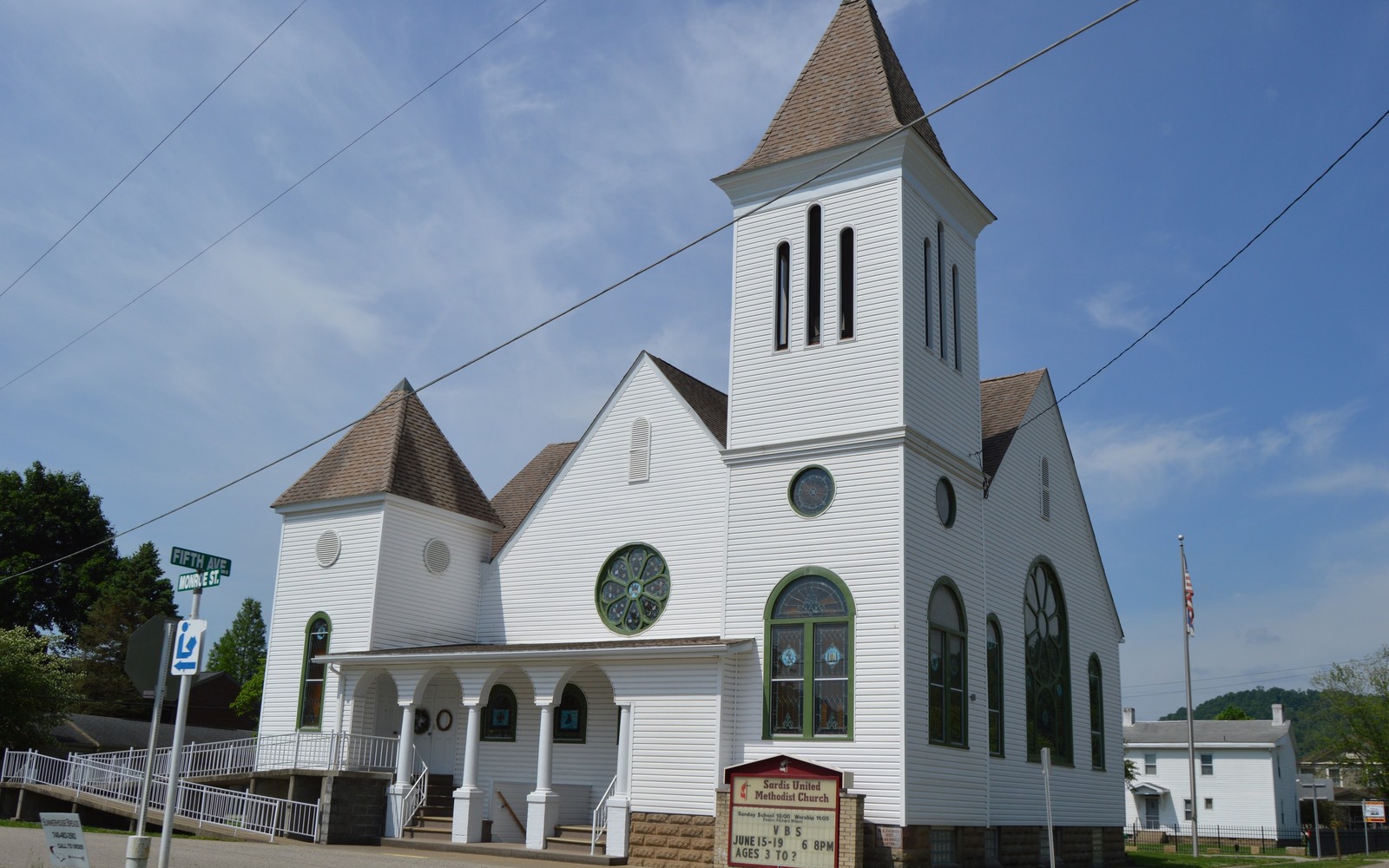
Sardis sits along the Ohio River in Monroe County, close to the underground natural gas liquids storage corridor that has grown up around the Utica core over the past several years.
Monroe County is one of the deepest parts of the Utica/Point Pleasant core, and the stretch of the Ohio River near Sardis and Clarington has become a hub for downstream infrastructure, including large underground NGL storage built into the region's salt caverns. That infrastructure investment reflects how much operators expect this area to keep producing for years to come.
For mineral owners near Sardis, that regional buildout is a signal of sustained interest in the play, even on parcels that have not yet been leased or drilled.
Why river-corridor Monroe County acreage matters
The presence of major midstream infrastructure near Sardis means operators have already committed significant capital to moving product out of this area, which tends to support continued drilling and pooling activity nearby rather than a one-time boom that fades.
That said, infrastructure proximity is not the same as your specific parcel being leased or pooled, so we always check the actual unit status for your tract before quoting.
Ownership patterns along the river bottoms
River bottom and hillside farms in this part of Monroe County were often held by the same families for generations, with minerals passed down through wills rather than sold. It is common for an interest near Sardis to be owned jointly by several heirs, some of whom may live far outside the county today.
A title search through the Monroe County Recorder's office in Woodsfield confirms the current ownership breakdown and any recorded leases before we make an offer.
Selling in an area with heavy operator investment
Because Monroe County has seen sustained core development, producing and pooled interests near Sardis typically have real transaction comparables to draw from, which lets us give you a well-supported offer rather than a rough estimate.
If your interest is unleased, we explain what nearby activity and infrastructure suggest for its outlook, always in hedged terms tied to current conditions rather than a promise about future value.
Begin with the local record trail
A mineral review in the county starts with the county recorder, legal description, deed chain, reservations, affidavits, notices, lease, units, division orders, payor records, statements, and Ohio well data.
Route Ohio title questions correctly
Probate, marital property, dormant-mineral procedure, pooling, recording, transfer, regulatory filings, and payor notices can change the file in the county. Qualified advisers should review legal and tax questions.
Keep the local review tract-specific
Use local context as a prompt, not a valuation shortcut. The county mineral docket then reconciles the exact tract against gross and net acres, ownership fraction, recorded notices, producing and inactive wells, paid decimal, recent statements, lease burdens, title exceptions, and the complete written offer.